

$8.95
See if it's really the one
Search with this product to compare it, find similar styles, or turn up something better before deciding.
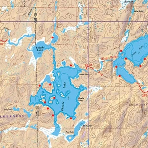
This map details the south central area of the BWCA. Including BWCA canoe entry points Hog Creek (#36) and Kawishiwi Lake (#37). Covers much of the Lady Chain and Louse River routes. Size: 25″ x 30″ This map is waterproof, topographic, hill shaded, and features trails, portages, campsites, and more!
Have a question about this?
We currently ship within the US, with more countries coming soon.
Final cost and dates are confirmed at checkout.
🇺🇸 Ship from USA · On Agora since 2026
$8.95